Log in
All resources
Create a design
1,096,578 Free Images of Maps Of Battles
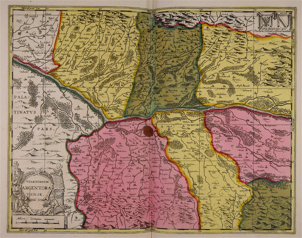
gerard valck
maps made in the 17th century
maps by pieter schenk (i)
thomas salmon (historian)
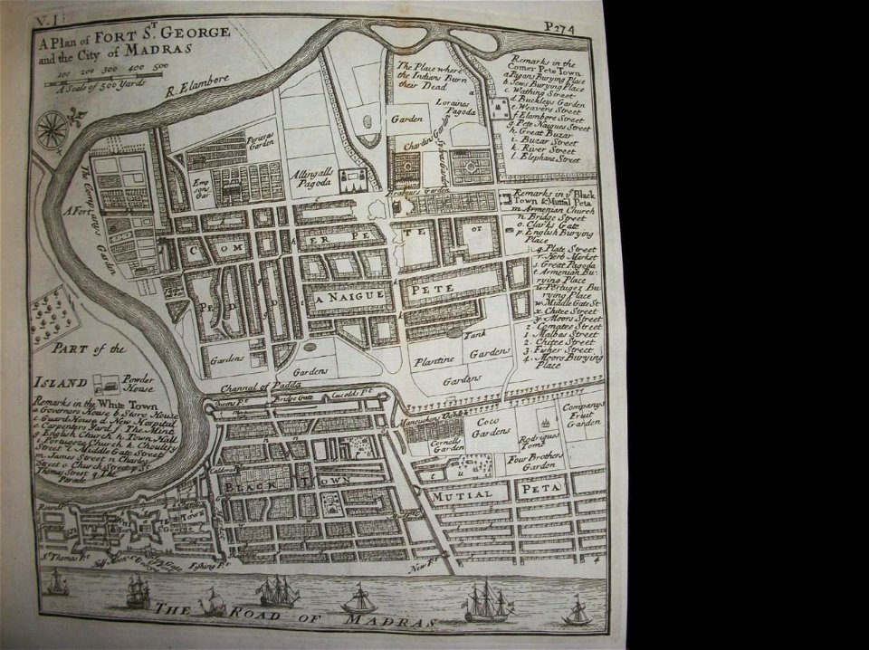
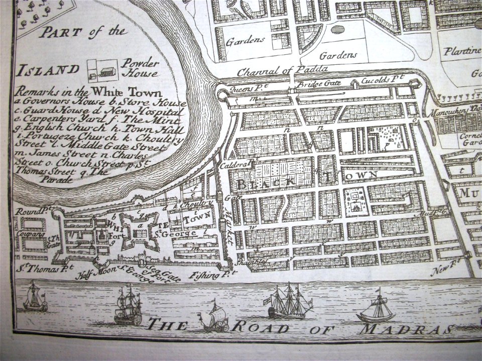
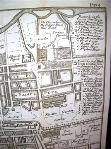
maps of chennai
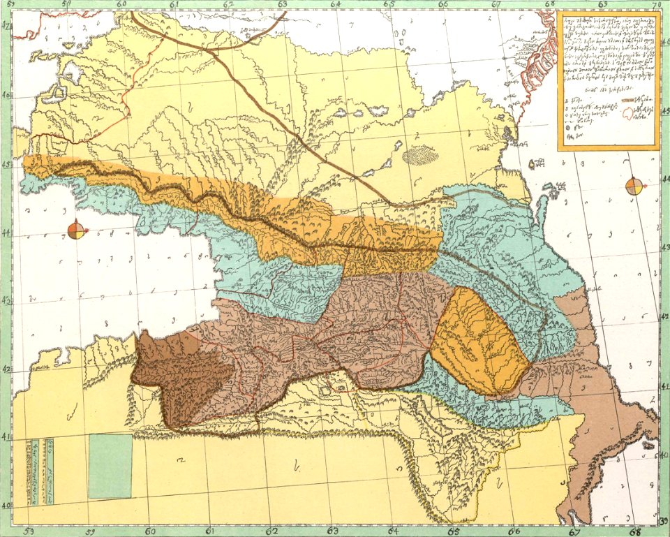
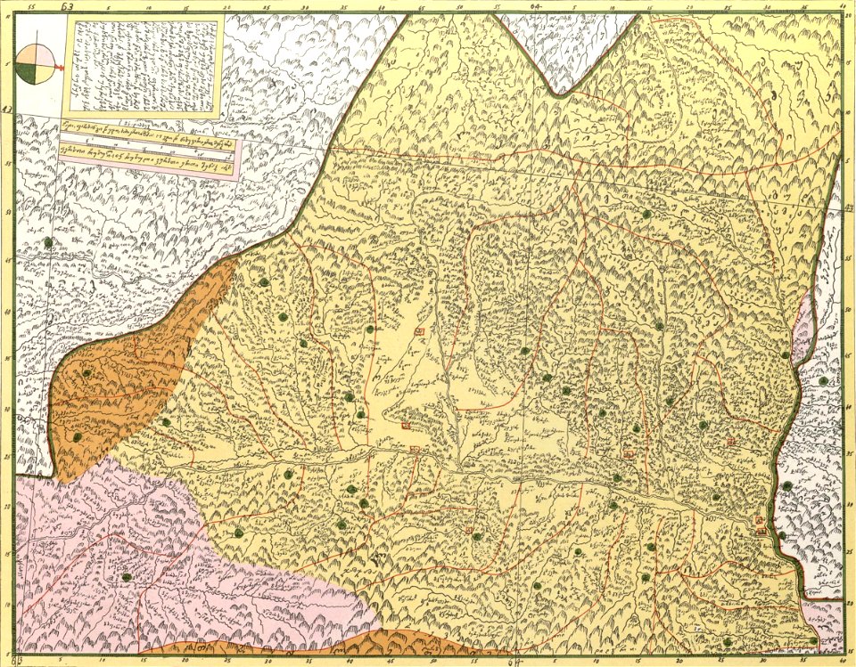
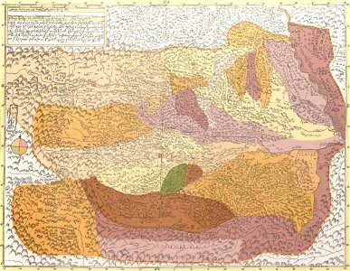
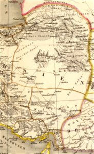
description of kingdom of georgia
its habits and canons
1740s maps of georgia
georgian-language maps
georgia in the 1740s
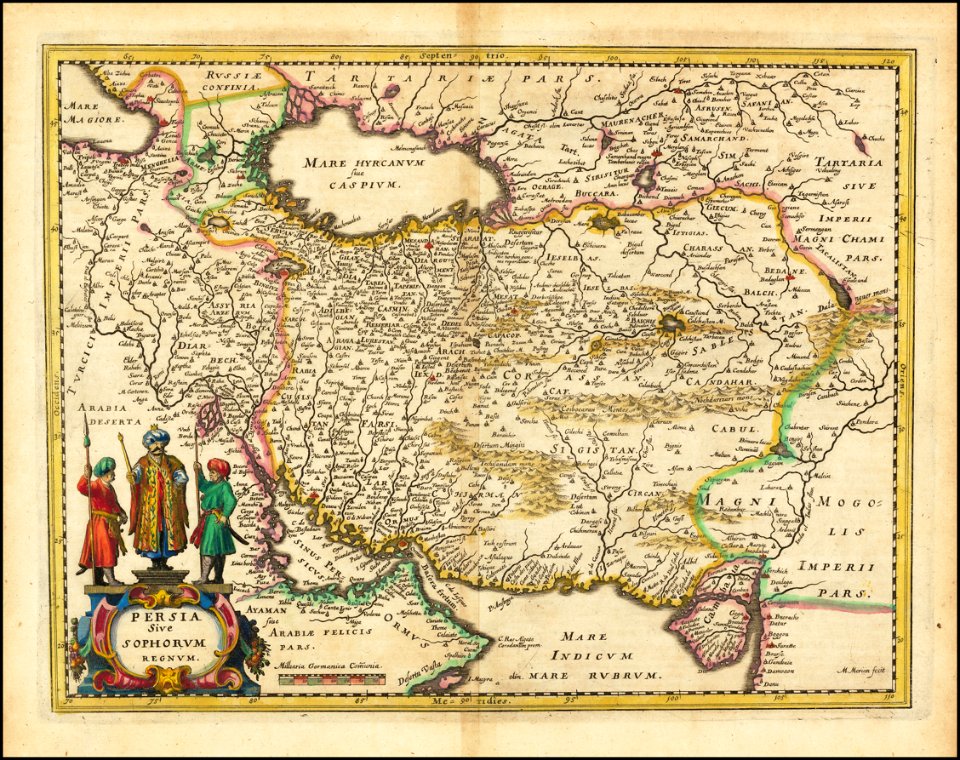
old maps of iran
matthäus merian
thomas salmon (historian)
maps of chennai
thomas salmon (historian)
maps of chennai
thomas salmon (historian)
maps of chennai
thomas salmon (historian)
maps of chennai
thomas salmon (historian)
maps of chennai
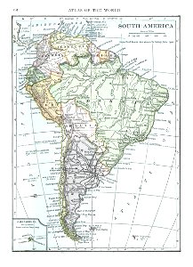
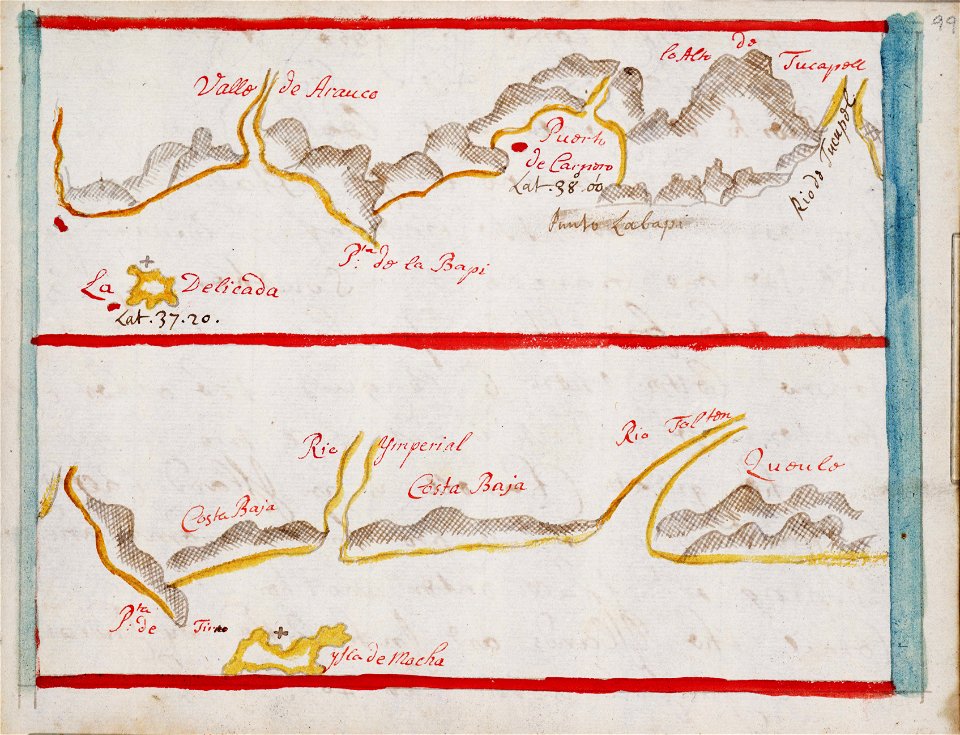
old maps of south america
1909
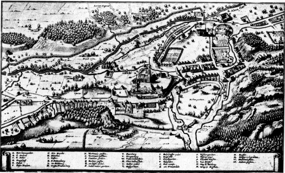
augustinerchorherrenstift berchtesgaden
old maps of berchtesgaden
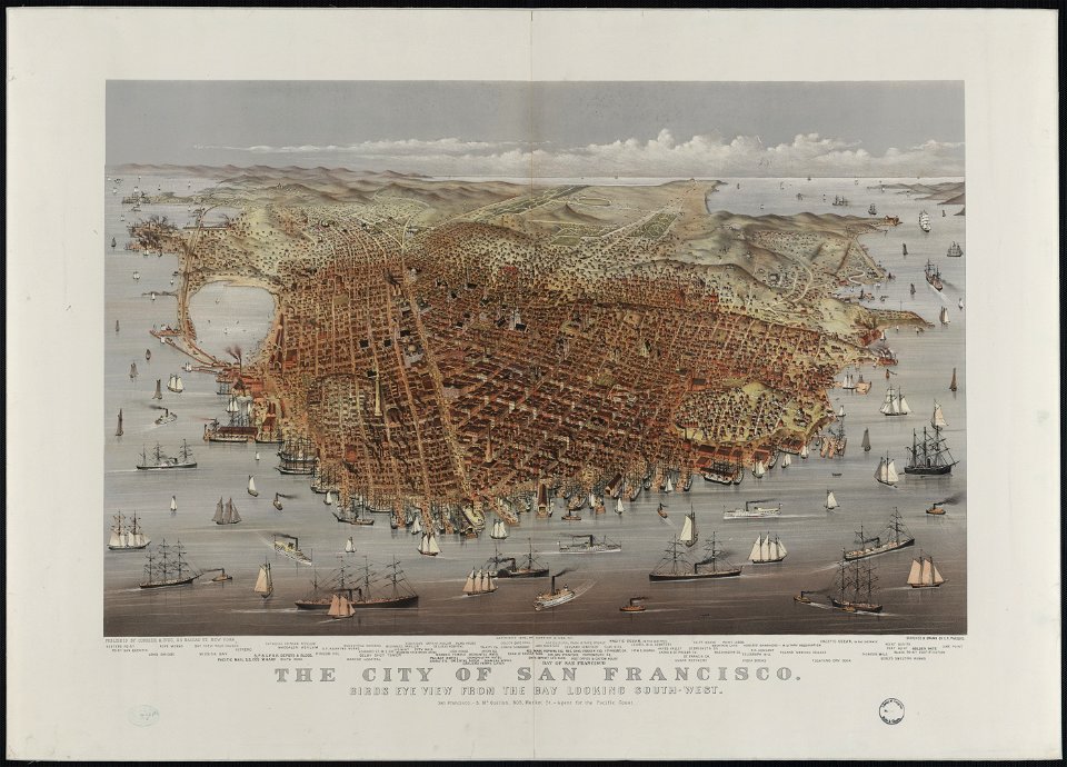
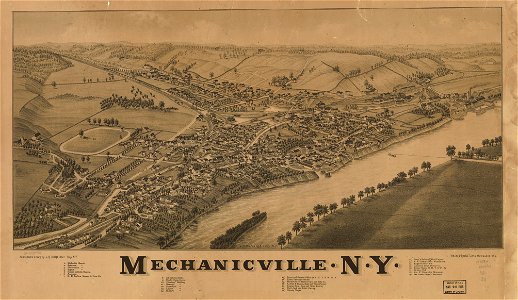
bird's eye view maps of california
walter cooper dendy
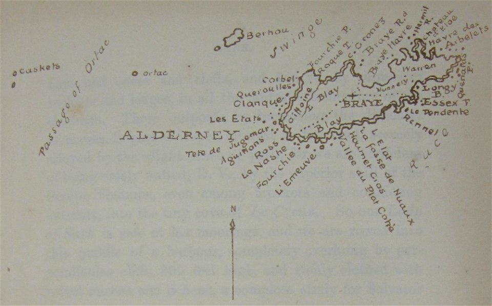
maps of alderney
walter cooper dendy
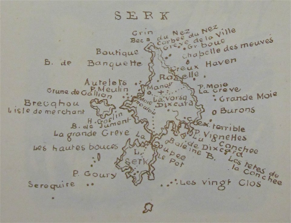
maps of sark
maps of lars kietzlingh
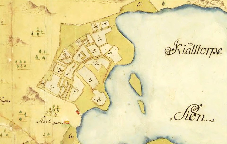
nacka
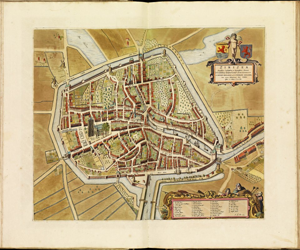
theatrum urbium (1610)
maps of geneva
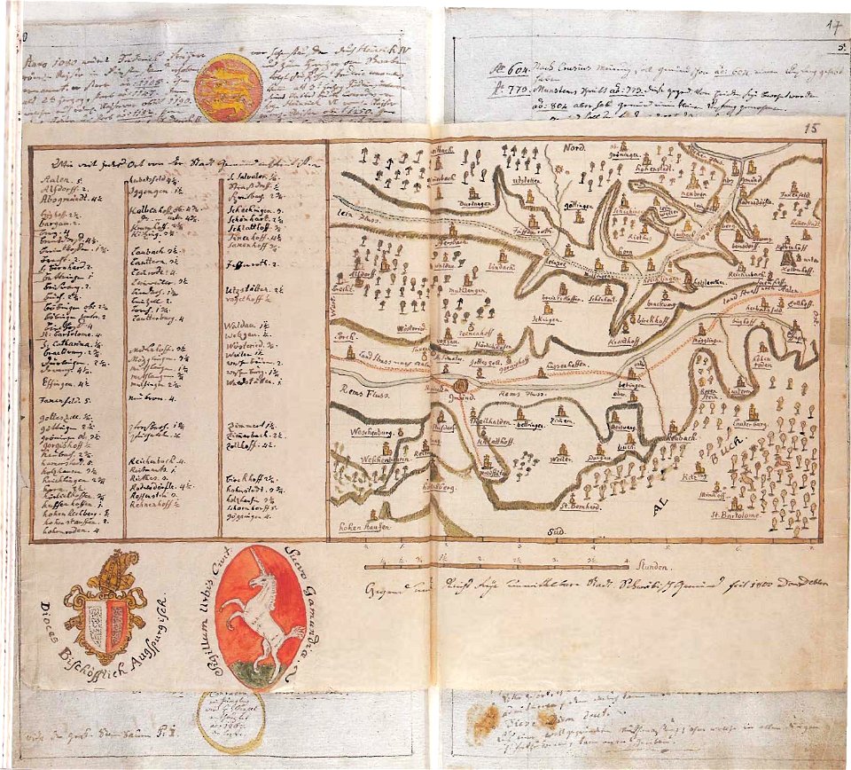
maps of schwäbisch gmünd
dominikus debler
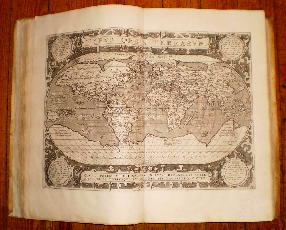
16th-century maps of the world
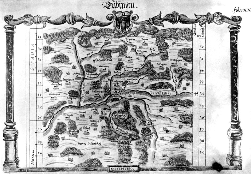
maps of tübingen
1575 in tübingen
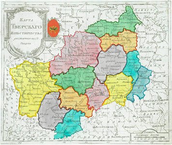
maps of tver governorate
tver viceroyalty
old maps of the caspian sea
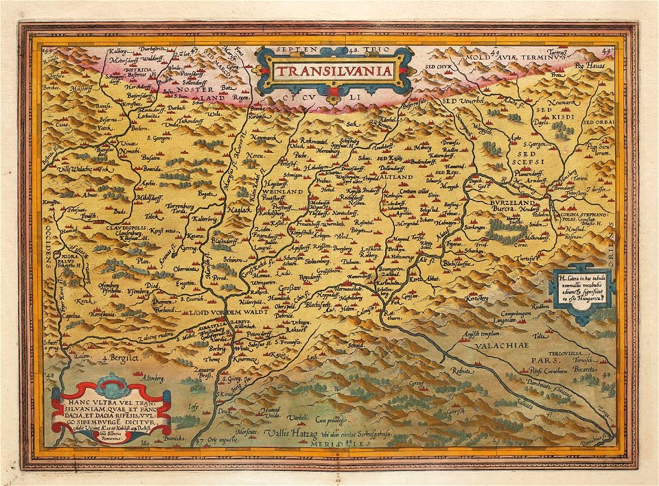
1575 maps of transylvania
johannes sambucus
maps of thaumasia quadrangle
mars topography
georg christoph eimmart
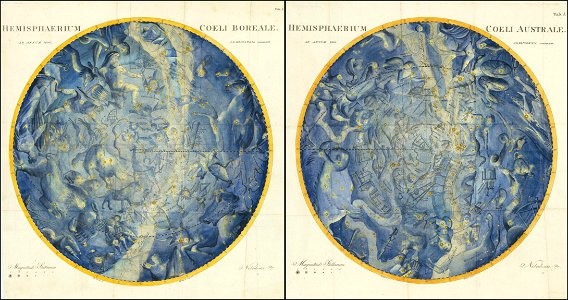
old celestial maps
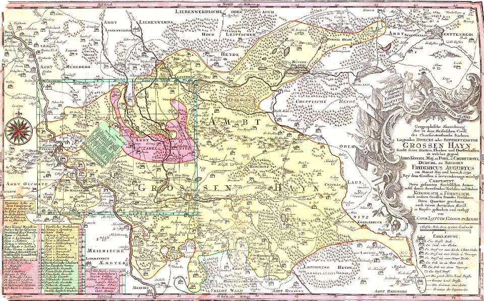
history of lorenzkirch
old maps of saxony
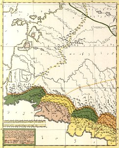
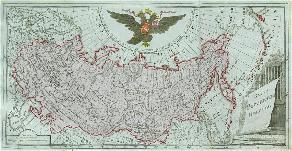
small atlas of the russian empire (1796)
old maps of viceroyalty of the caucasus
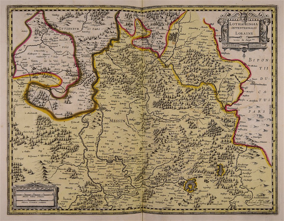
maps by willem and johannes blaeu
1649
collections of staatsbibliothek bamberg
franconian switzerland
collections of staatsbibliothek bamberg
franconian switzerland
19th-century maps of sweden
sweden in the 1850s
braunschweig in the 1880s
old maps of braunschweig
illustrations from the sea serpent by george roux
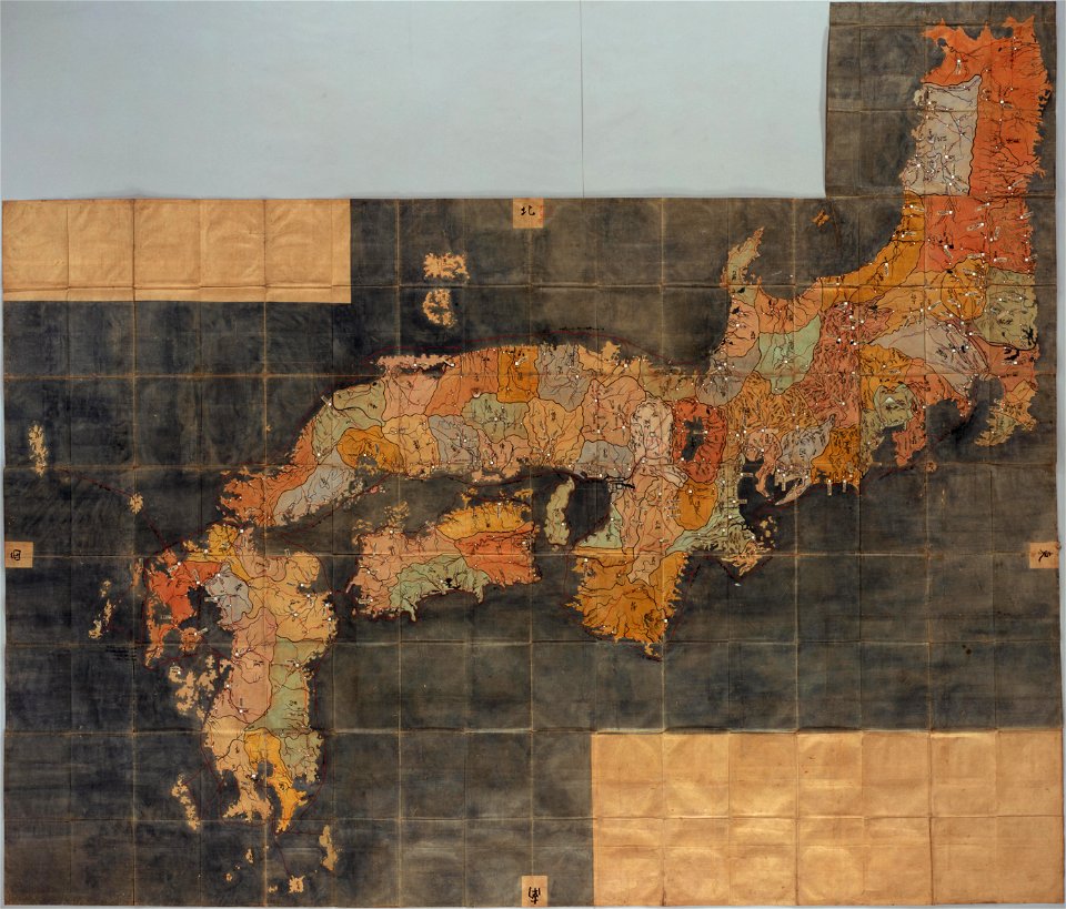
20th-century maps of japan
maps of the dutch east india company - sri lanka
1765
old maps of the tsardom of russia
history of valuyki
voyage pittoresque de la grèce
i̇zmir in the 18th century
geographical atlas for the 5-6 grades of secondary school (1941)
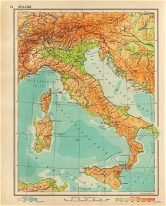
old maps of italy
description of kingdom of georgia
its habits and canons
description of kingdom of georgia
its habits and canons
description of kingdom of georgia
its habits and canons
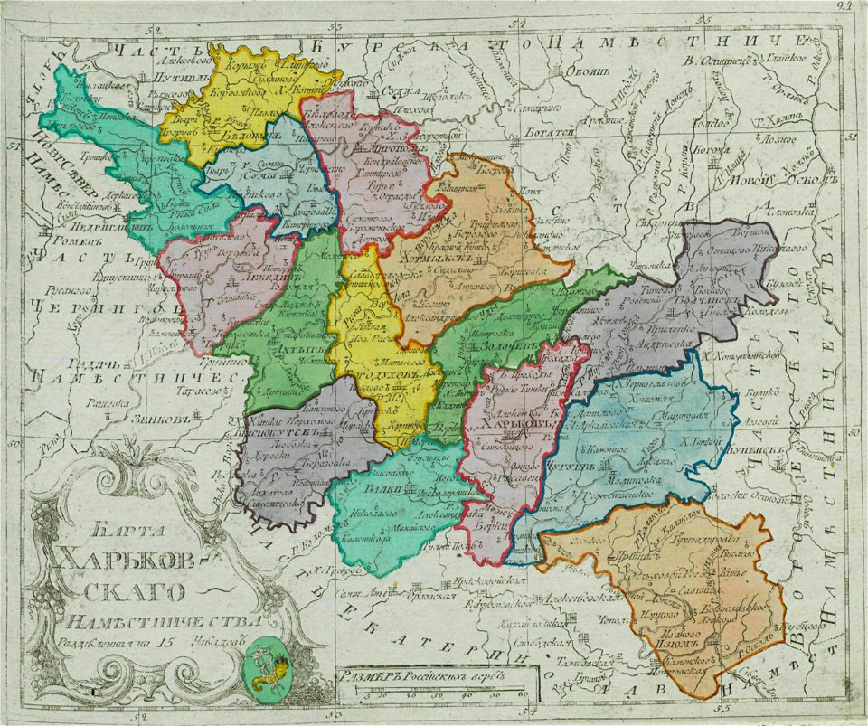
small atlas of the russian empire (1792)
kharkov viceroyalty
pictorial history of the russian war 1854-5-6 by george dodd
1856 maps of georgia
description of kingdom of georgia
its habits and canons
description of kingdom of georgia
its habits and canons
hawaii in the 1810s
louis choris
old maps of the russian empire
catherine the great
atlas of the russian empire (1800)
maps of astrakhan governorate
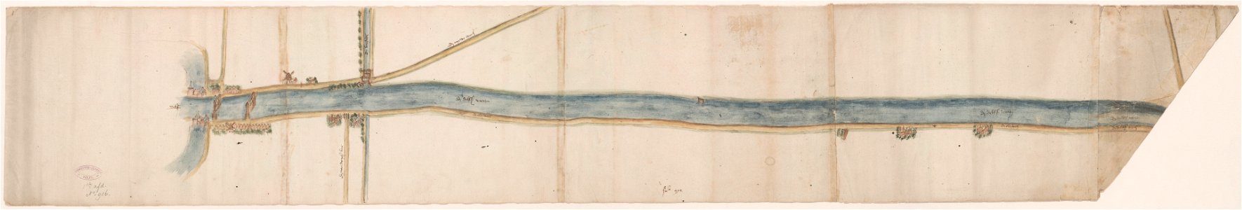
maps of waterways in the netherlands
collections of stadsarchief delft
historia de gentibus septentrionalibus
öland
important cultural property of japan in tokyo
maps in the national archives of japan
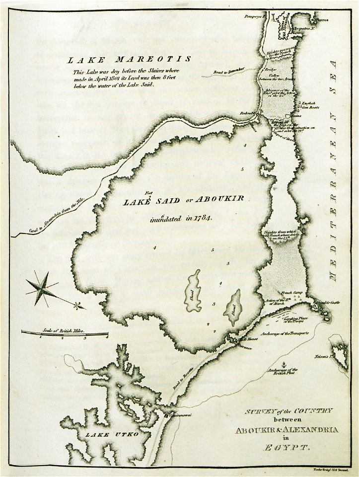
old maps of alexandria
asia and africa
fine prints in the library of congress
engravings of battles
jacob truedson demitz
monarchs of sweden
caricatures of wilhelm ii of germany
cornell university library
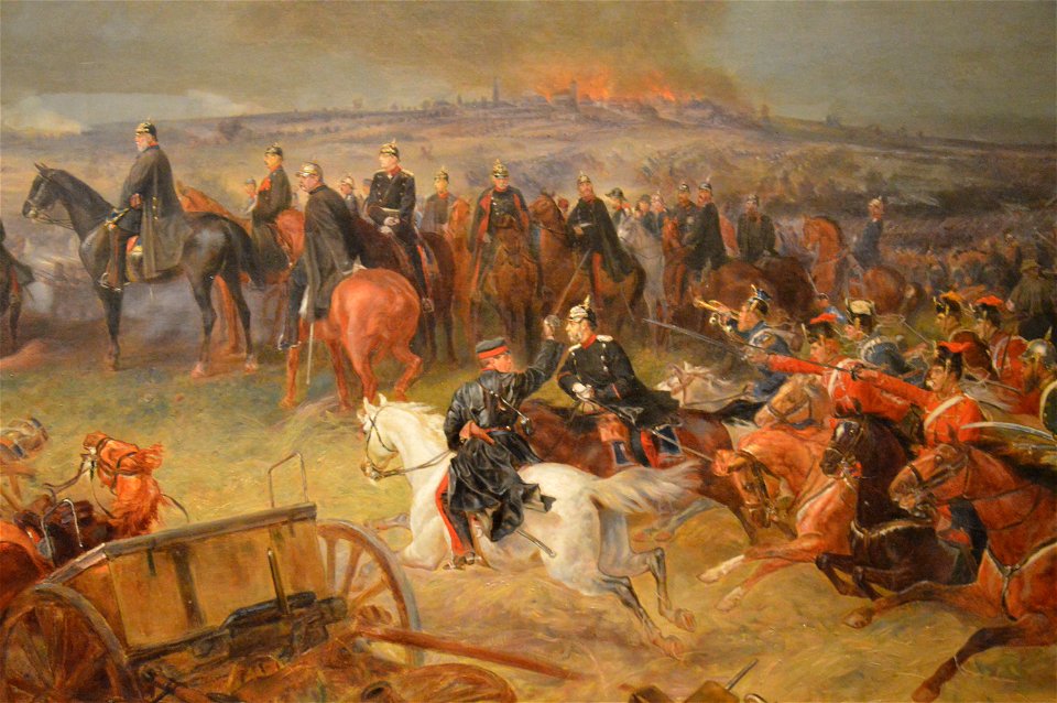
paintings in the deutsches historisches museum
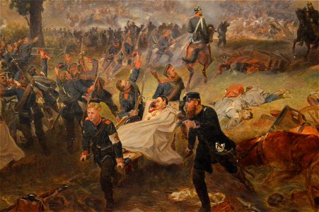
19th-century paintings of battles
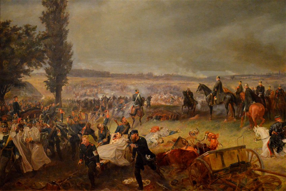
paintings in the deutsches historisches museum
19th-century paintings of battles
paintings in the deutsches historisches museum
19th-century paintings of battles
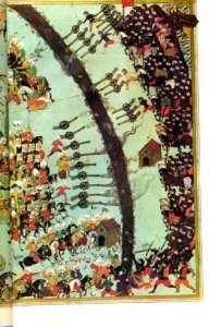
hungary-related turkish miniatures in the topkapi palace museum
battle of mezőkeresztes
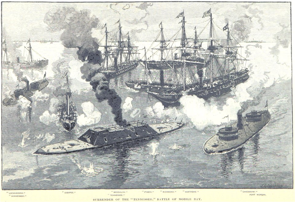
works by julian oliver davidson
1863
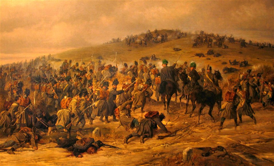
19th-century paintings of battles
second schleswig war
old maps of the canton of zürich
old maps of switzerland
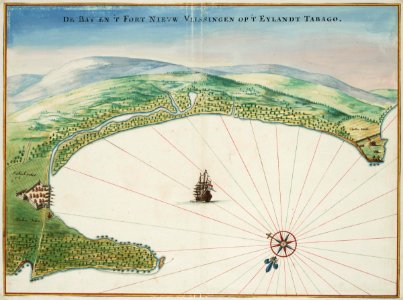
tobago
1665
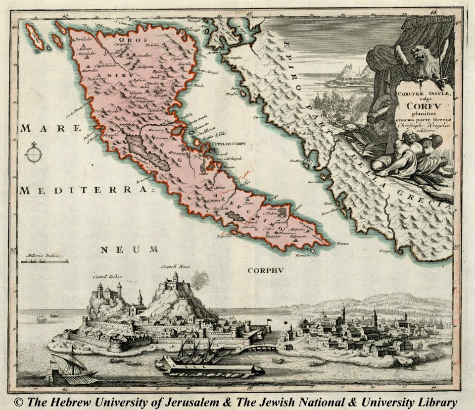
engravings of palaio frourio (corfu)
1720 maps
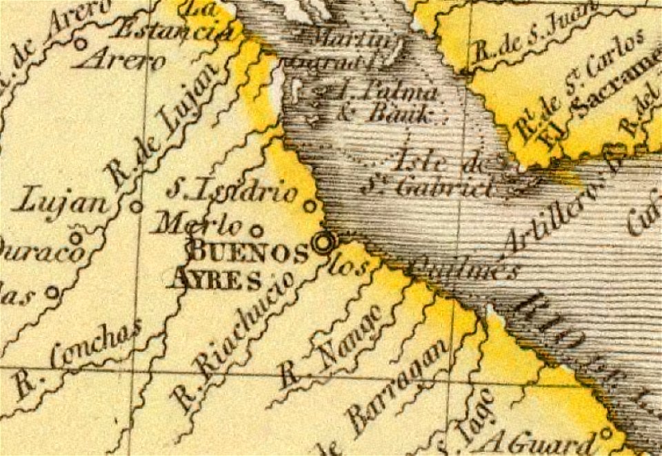
old maps of the río de la plata
1812 maps
18th-century maps of brazil
1780 in south america
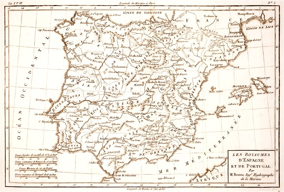
1780s maps of portugal
1780s maps of spain
19th-century family portraits
peter fendi
maps by gerardus mercator
maps by jodocus hondius
old celestial maps
1800 maps
naval battles involving spain
reinier nooms
fonds ancely - bibliothèque municipale de toulouse - maps
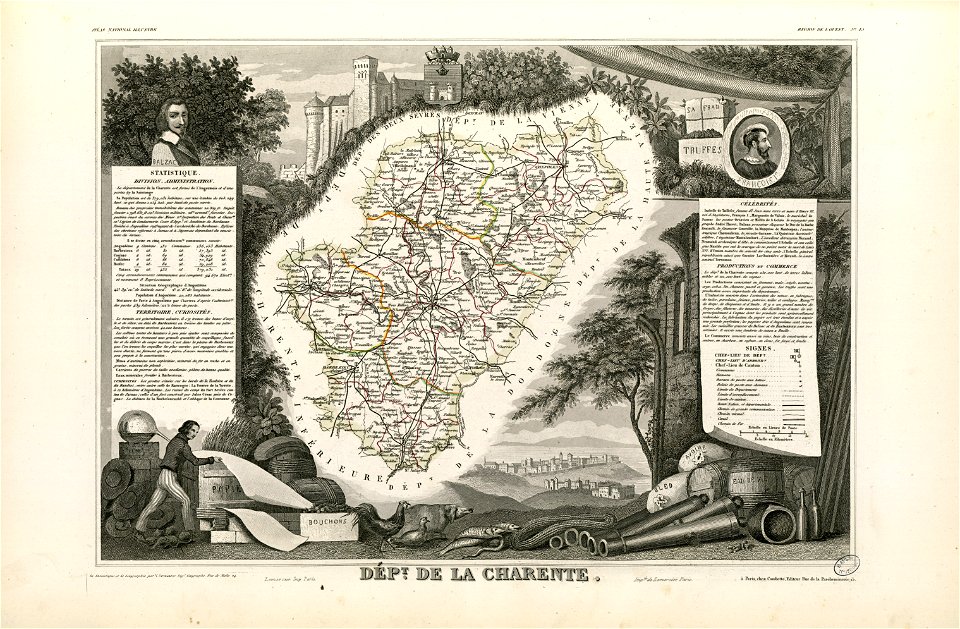
coats of arms of cities in charente
oil paintings of the royal museums greenwich
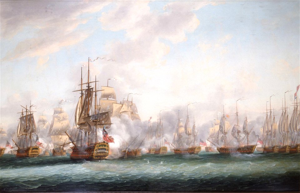
battle of the saintes
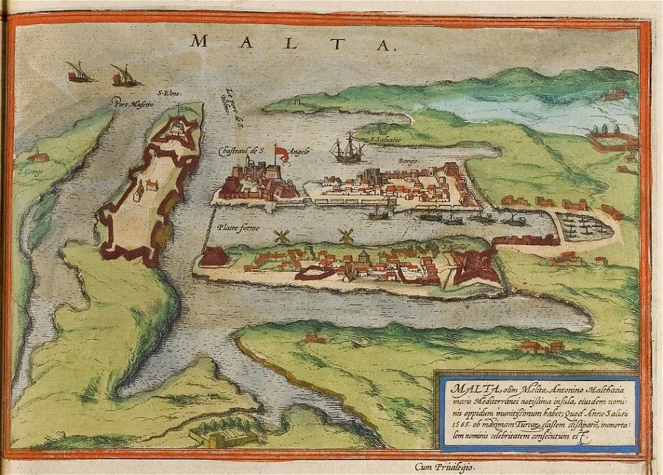
maps of the history of malta
braun & hogenberg
architecture
city
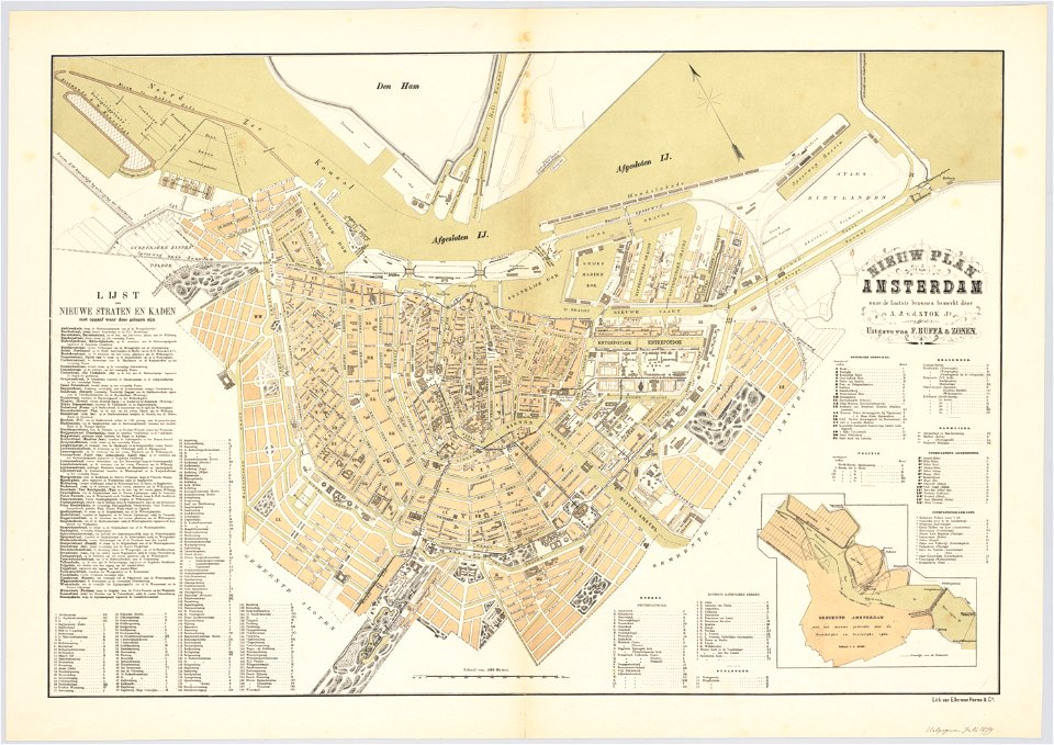
maps in the stadsarchief amsterdam
oosterdok
new york
camden
atlas van der hagen
1662 maps
old maps of scandinavia
johannes ratelband
charts and maps of the royal museums greenwich
1682 maps
maps by willem and johannes blaeu
copper engraving
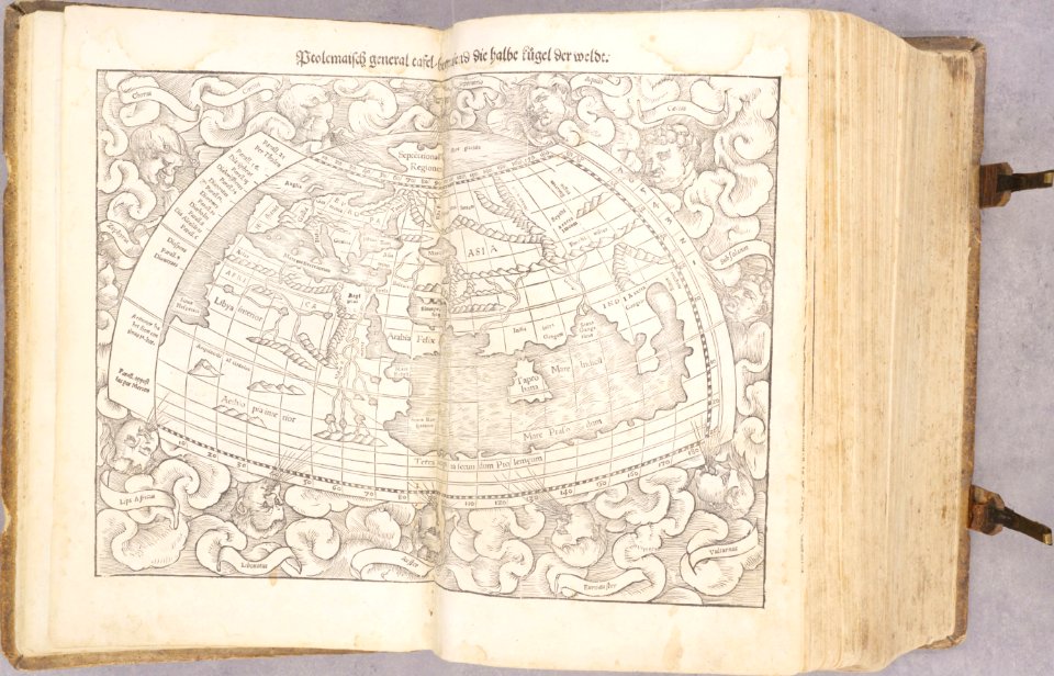
1540s maps of the world
ptolemaic world maps
maps and topographical views by joris hoefnagel
engravings in the museum plantin-moretus
files from the bodleian libraries
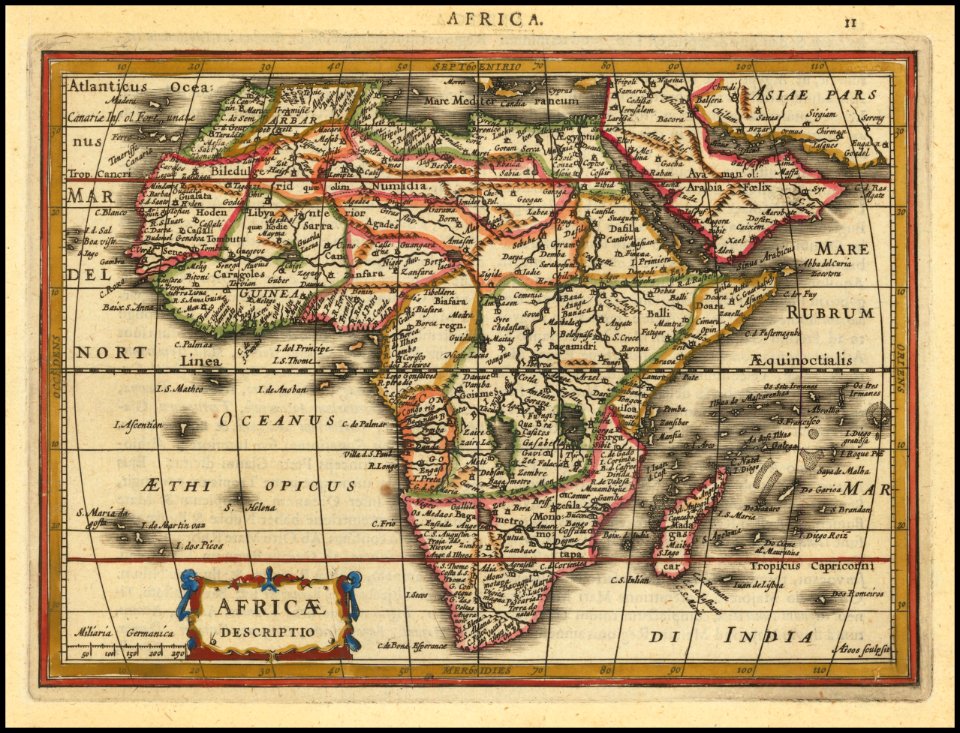
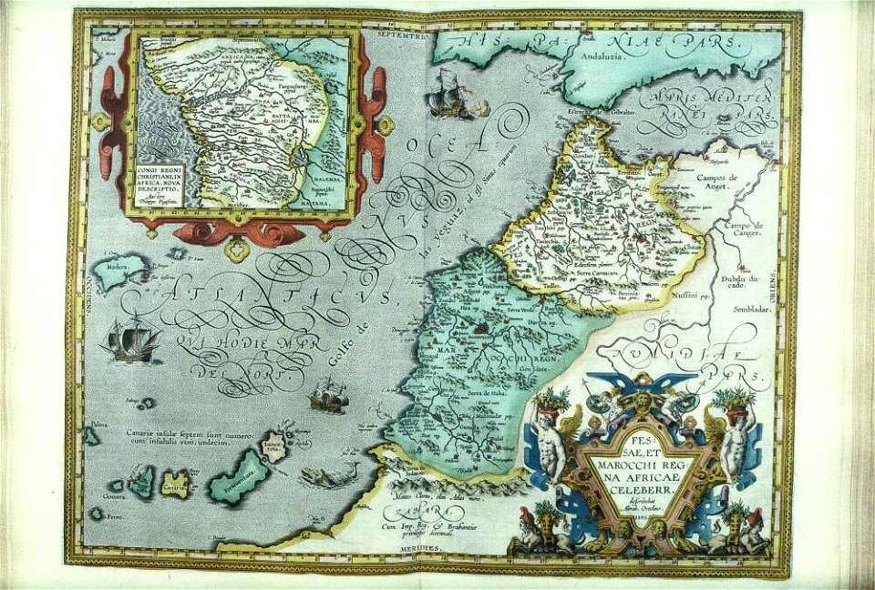
old maps of africa
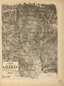
fonds ancely - bibliothèque municipale de toulouse - maps
gustave bascle de lagrèze
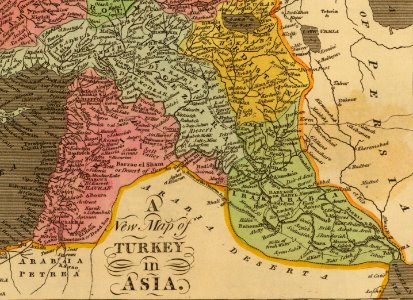
old maps of the middle east
jr
metropolitan improvements (1828) thomas hosmer shepherd
maps from the mechanical curator collection
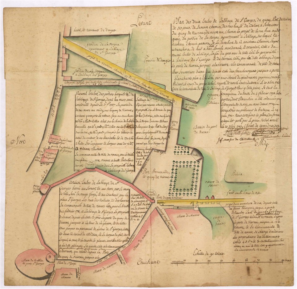
old maps of rennes
1780 maps
maps by willem and johannes blaeu
atlas van loon
1880 maps
new york
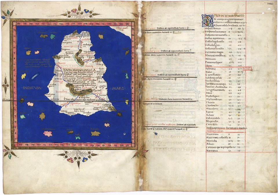
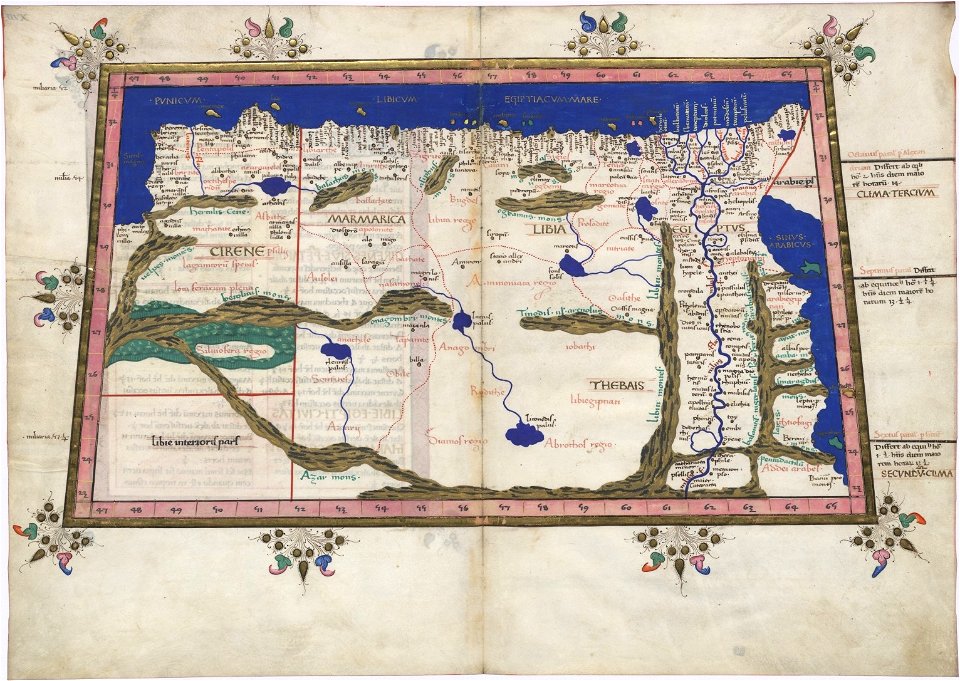
cosmographia claudii ptolomaei alexandrini
ptolemy's 12th asian map
ptolemy's 3rd african map
latin-language maps
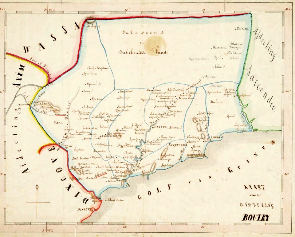
old maps of the dutch gold coast
1859 maps
dutch 18th-century prints in the rijksmuseum amsterdam
maps of amsterdam
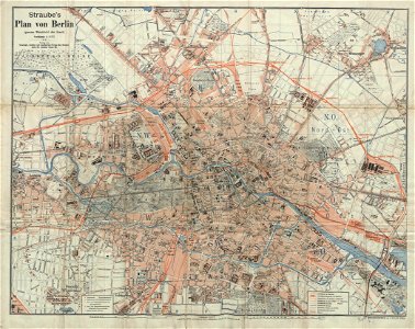
19th-century maps of berlin
1896 maps
david rumsey historical map collection
german-language maps
national diet library
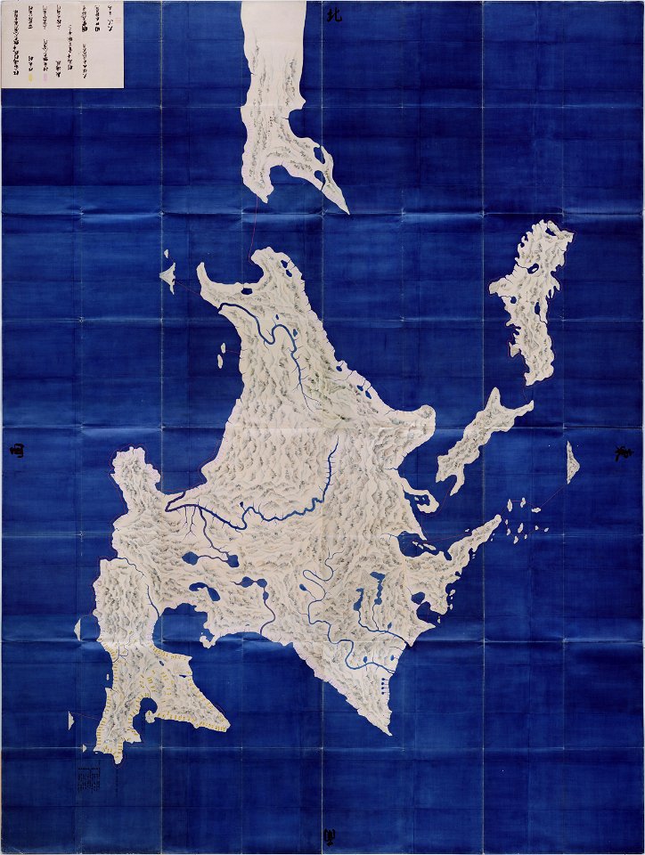
keichō kuniezu
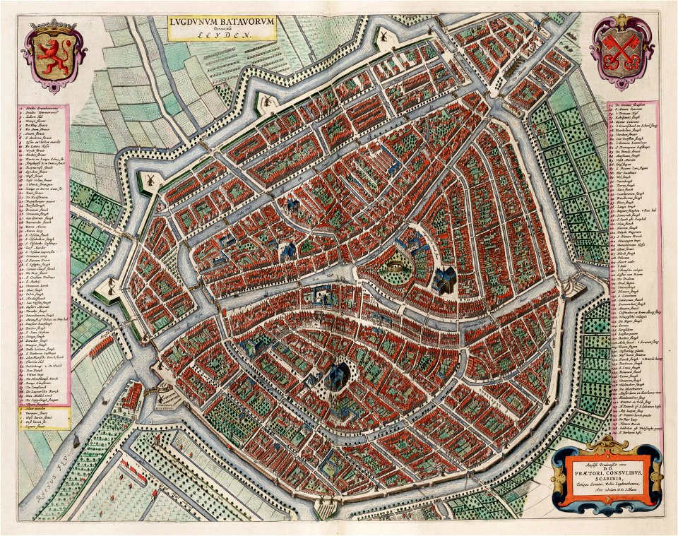
utrecht in the 17th century
maps
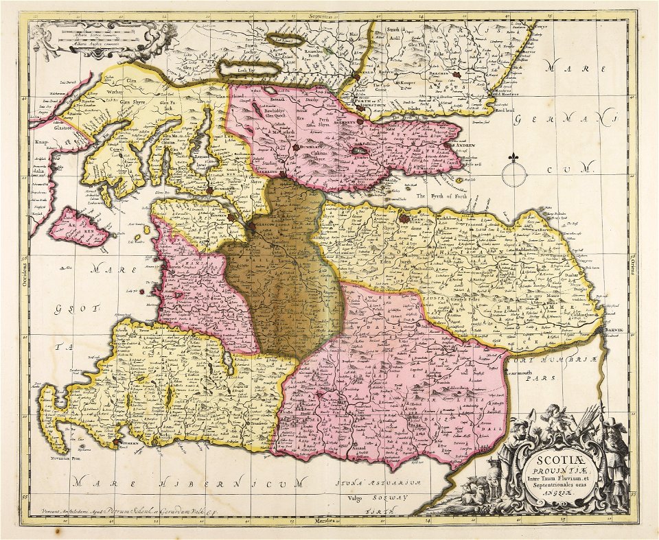
maps made in the 17th century
gerard valck
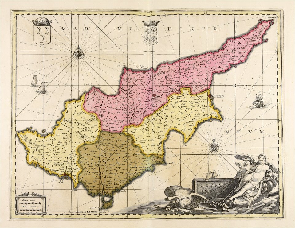
maps made in the 17th century
gerard valck
maps made in the 17th century
gerard valck
maps made in the 17th century
gerard valck
atlas van der hagen (volume 4)
maps with cartouches
maps made in the 17th century
gerard valck
maps made in the 17th century
gerard valck
5101 - 5200 of 1,096,578
Next page
/ 10966